Research
Overview
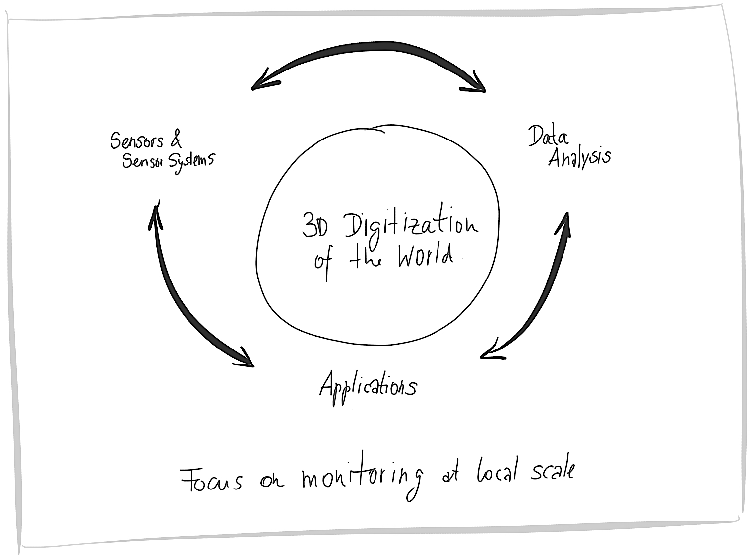
Our research is centered around digitizing the 3d world at local scales with high and predictable quality in terms of geometric accuracy and level of detail. We contribute by developing, testing and calibrating sensors and sensor systems, by advancing data processing approaches and by adapting sensors and analysis strategies to new requirements of innovative applications.
We focus on research related to application fields like geomonitoring of landslides, glaciers, or artificial slopes, structural monitoring of dams, buildings or experimental infrastructure, and dimensional control during construction. There are synergies and common questions between our research projects, e.g. in terms of data processing approaches like machine learning or parameter estimation, in terms of modelling and mitigating of external effects like atmospheric refraction or surface related uncertainties, or in terms of application challenges like reliable quantification of deformations and shape deviations.
We benefit from a particularly broad experience of the group in the area of terrestrial laser scanning (TLS) where our research ranges from the development of new LiDAR technology based on a broad-band laser source via error modelling of the sensors, calibration, and registration to point cloud visualization and the quantification of geometric changes using point clouds. However, this research is closely linked to additional research activities within the group, e.g. in the context of metrology using depth cameras or in the context of geomonitoring using terrestrial radar interferometry.
Links:
Contact
Geosensorik und Ingenieurgeodäsie
Stefano-Franscini-Platz 5
8093
Zürich
Switzerland
