Sensors and Sensor Systems
Measurements are a vital basis for information extraction, modeling and decision making. In the context of engineering geodesy, a wide variety of sensors and sensor systems is available for digitizing the environment, setting out, and monitoring. A high degree of automation for both data collection and data processing means that often large amounts of data can be acquired at low cost and the redundancy can be exploited to check and improve the quality of the results, in particular with respect to spatial resolution, temporal resolution, and noise.
The actually attained quality is now typically limited by systematic effects which cannot necessarily be exposed and mitigated by redundancy alone, and physical limitations may impair the observability of relevant situations and phenomena. Examples are surface properties within the footprint of a laser beam used for scanning, atmospheric effects on geodetic measurements, or mapping of buried underground utilities.
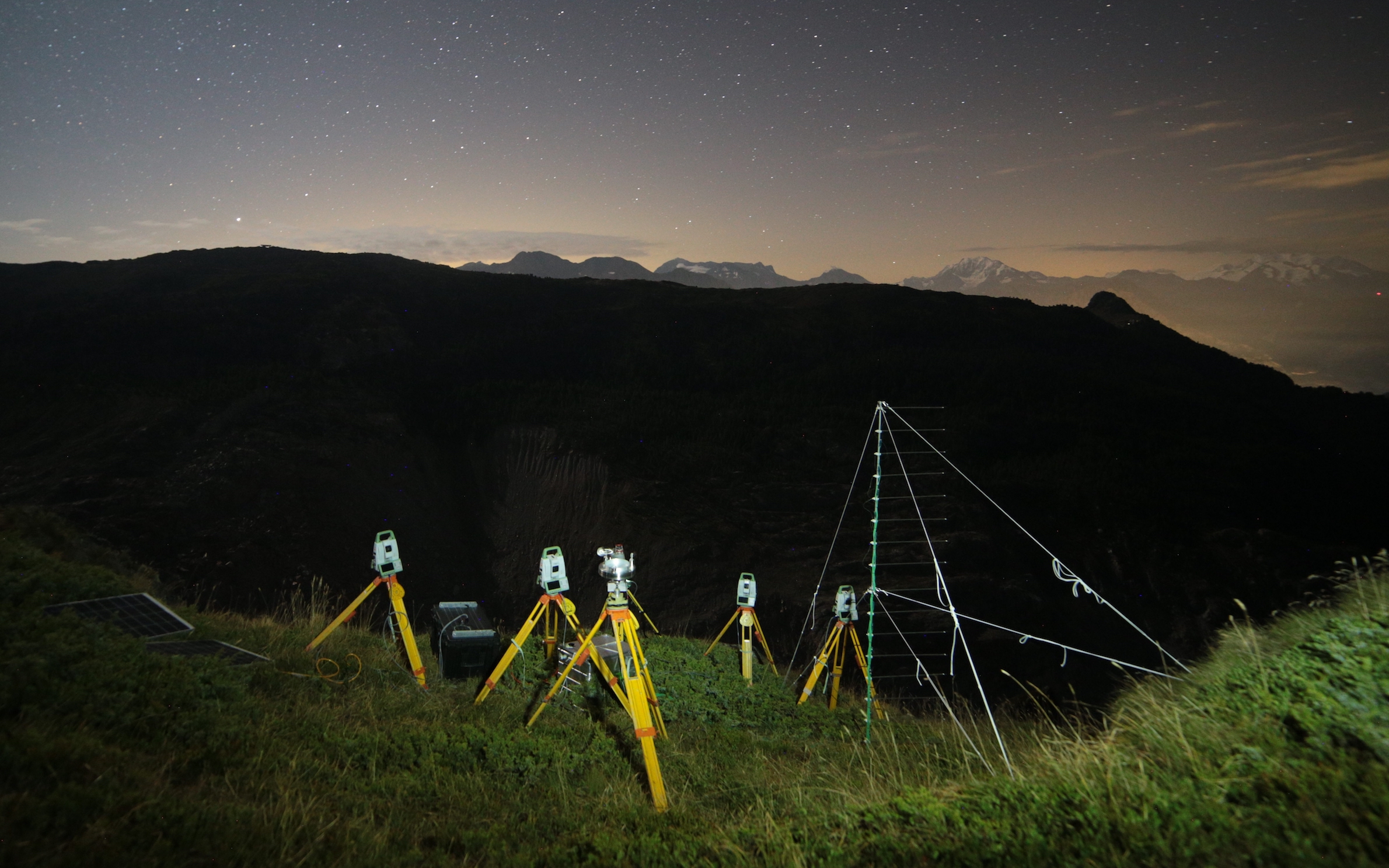
In our research we strive to enhance the understanding and modeling capabilities of such fundamental limitations for selected sensor systems, primarily for terrestrial laser scanners and terrestrial radar interferometers. Overarching goals of this research are to provide error models for predicting the attainable quality, assure or improve the quality through appropriate calibration processes, and overcome limitations by enhancing the sensing capabilities, developing new sensor systems or exploiting new sensors.
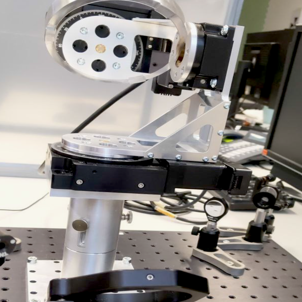
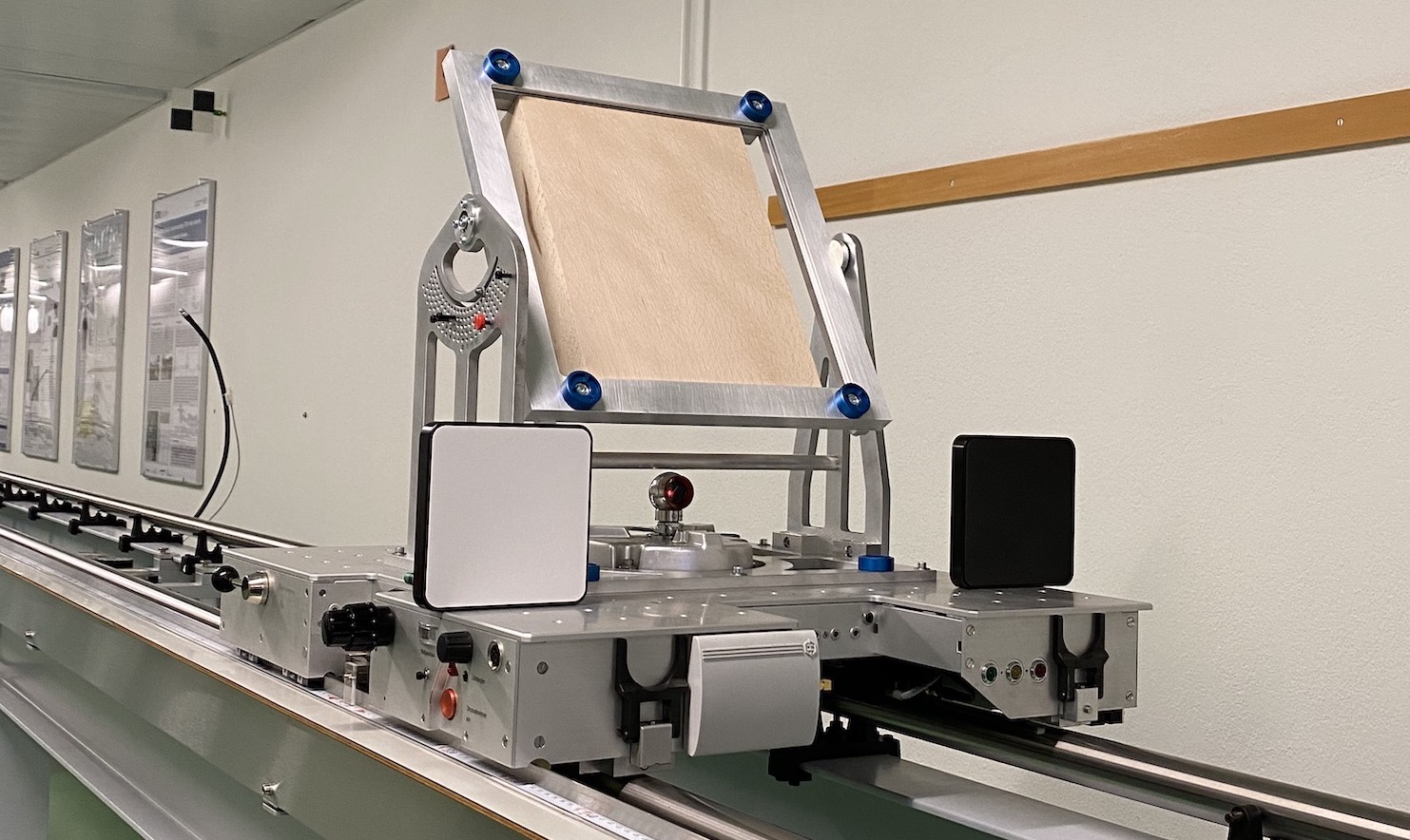
In this research we benefit particularly from IGP’s airconditioned geodetic metrology lab and a climate chamber with various infrastructure to set-up experiments, provide highly accurate reference data, and control environmental conditions within certain limits. This helps us to also offer tests and calibration of geodetic instruments as a service to practitioners, industry and agencies. Additionally, we have access to a variety of geodetic instruments supporting field experiments with prototypes of sensors systems that we develop within our research.
- Multispectral precision distance metrology and material probing
- Digital Underground
- MIMO-SAR for Structural Health Monitoring
- Systematic Influences on geodetic Totalstation-Measurements
- Influence of atmospheric refraction on terrestrial long-range laser scanning
- Modelling surface-related uncertainty of terrestrial laser scanning