Data Analysis
Real-world geodetic data gathered with modern instruments are often spatiotemporal in nature and exhibit complicated deterministic and stochastic behavior due to the presence of measurement uncertainty and the physical complexities inherent the measurement process. For measurement systems acting via electromagnetic waves and including the optical range, electronic crosstalk, the influence of meteorological effects and the properties of the surveyed objects themselves can have a significant impact on the data. This results in datasets with highly intricate correlations that are hard to capture in terms of simple parametric models.

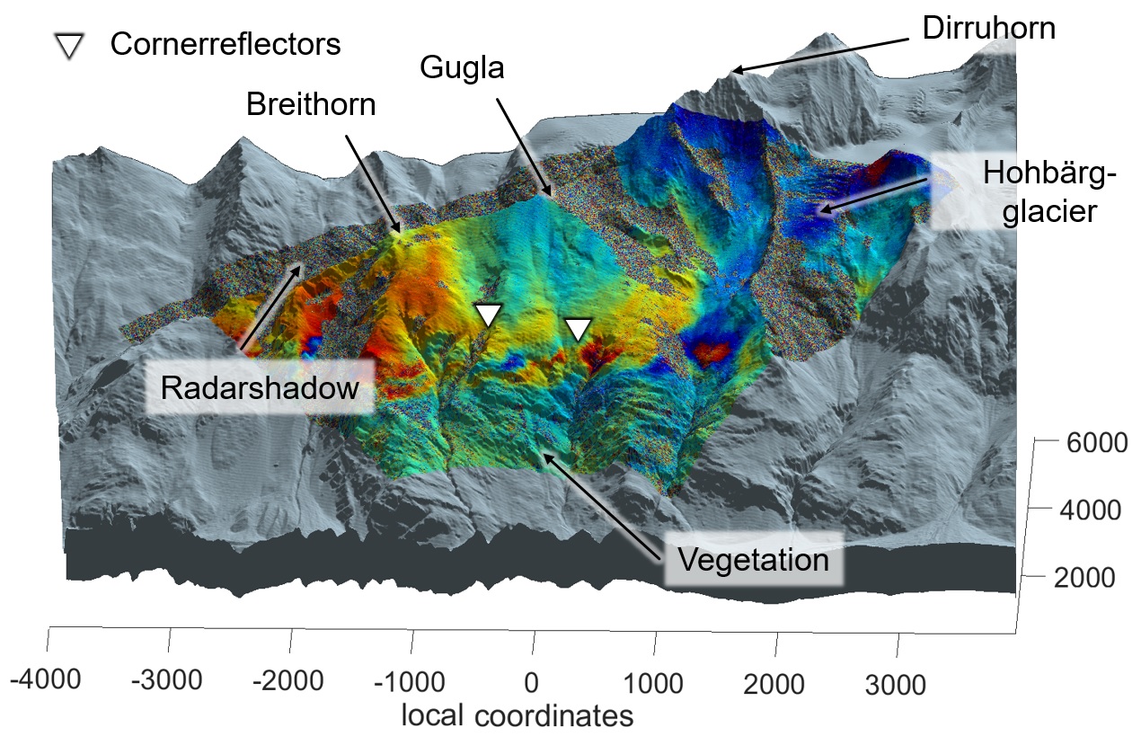
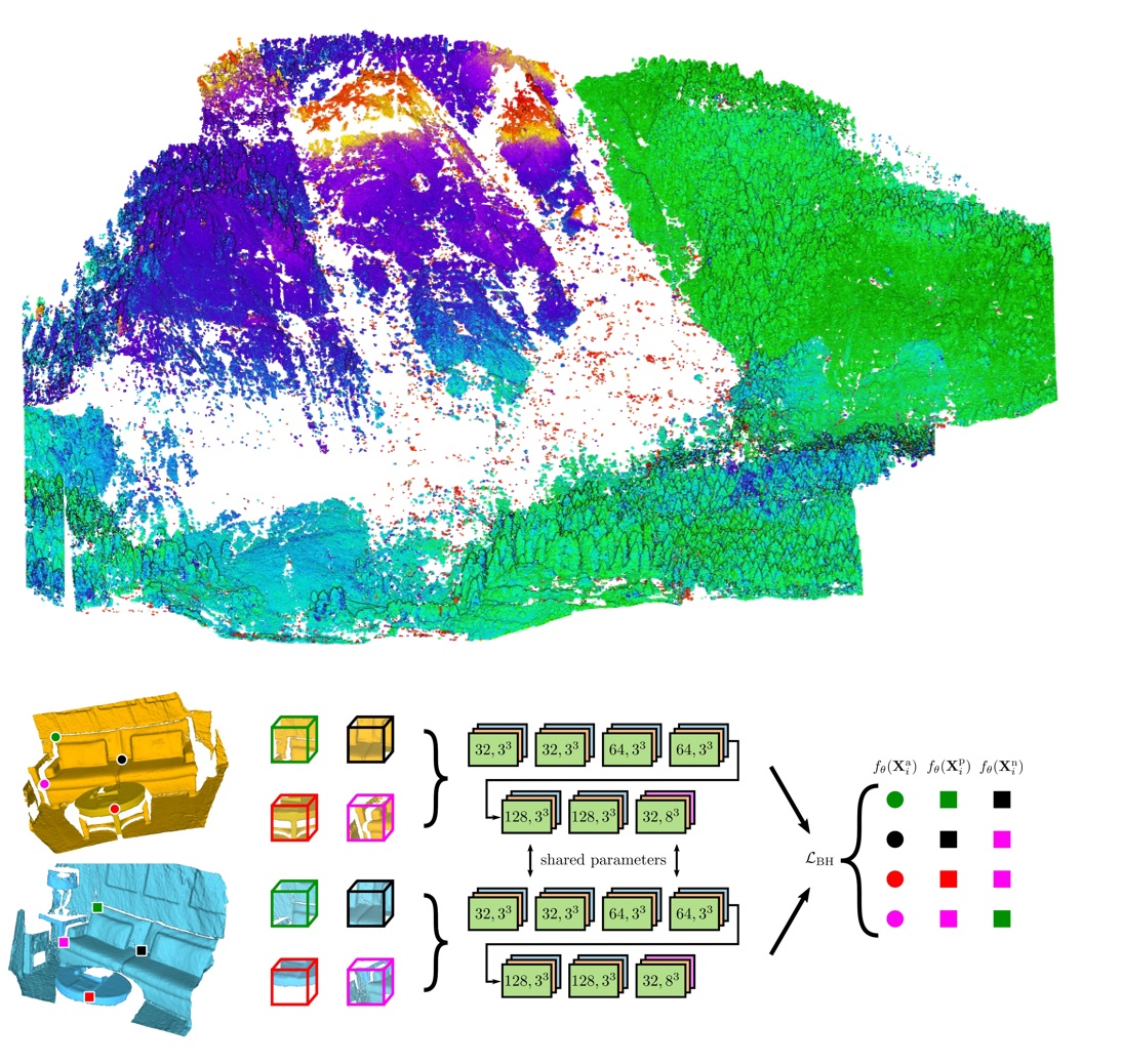
Extracting practically applicable knowledge from these type of data can be challenging; even more so when the results have to be reliable. Knowledge discovery and optimal estimation in a diverse collection of settings ranging from radar interferometric deformation analysis to point cloud processing and classical geodetic networks requires a unified approach. Choosing to be guided by stochastic optimality, we tackle real-world problems with methods from machine learning, functional analysis, explorative statistics and adjustment theory. This includes e.g. deep neural networks specifically trained to estimate deformation vector fields from pairs of 3D point clouds employing state-of-the-art loss functions and convolutional architectures.

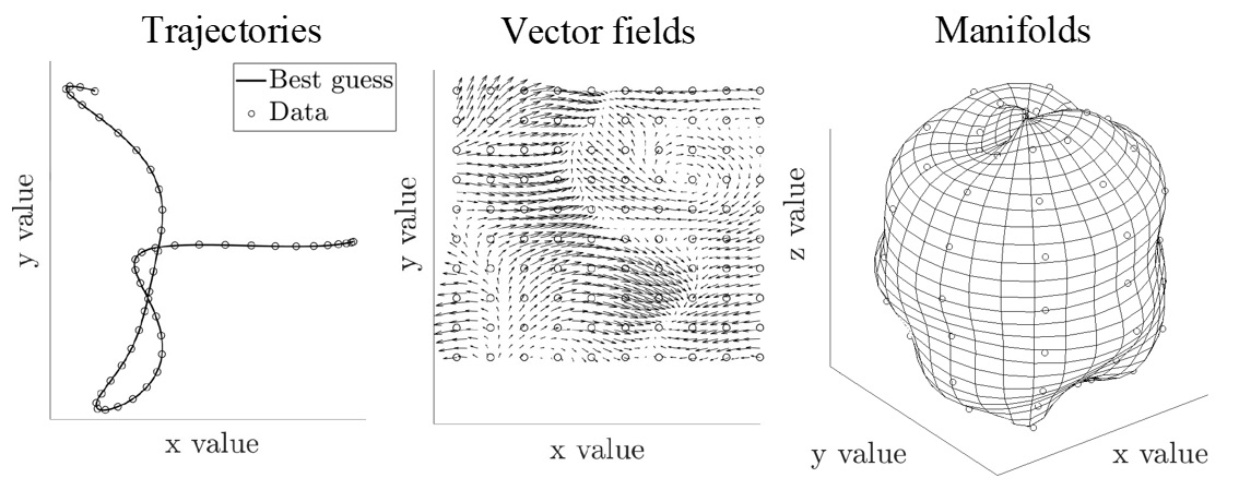
While in the most tractable cases, we rely on parameter estimation and hypothesis testing, nonlinear behavior is sometimes more easily handled by embedding it into an infinite-dimensional space that makes analyzing the relationship between features easy. Among other methods, reproducing kernel Hilbert spaces provide a framework for doing this systematically and make nonlinear quantities amenable to rigorous statistical methods thereby providing one more tool in the box used to get the most out of what our instruments provide.

- Integrated structural monitoring using point clouds obtained from Terrestrial Laser Scanning
- Modelling and inference for spatiotemporal geodetic data with applications to terrestrial radar interferometry
- Feature based approaches for point cloud based geomonitoring
- Spatially continuous dam monitoring
- Systematic Influences on geodetic Totalstation-Measurements
- Influence of atmospheric refraction on terrestrial long-range laser scanning
- Cross-modal feature based structural deformation monitoring using colored point clouds
- TLS point cloud registration for deformation monitoring