Long-term kinematic monitoring of glacier surface deformation using single-frequency GNSS receivers
Overview
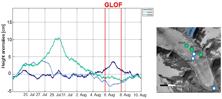
The behavior of a glacier is characterized by long-term processes (e.g. ablation) and short-term events (e.g. Glacial Lake Outburst Floods (GLOFs)). Depending on the triggering forces the dynamic response of the glacier can be, e.g. an ice surface uplift, a change in flow direction or a change in flow velocity. The aim of this study is the kinematic monitoring of the glacier surface using a network of single frequency GNSS stations.
Project Description
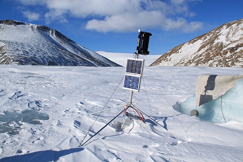
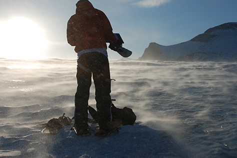
Based on a external page geophysical study five single frequency GPS stations have been installed on a glacier (A.P. Olsen Ice Cap) in NE Greenland where a GLOF happened annually. A reference station has been installed on the moraine.
The GNSS raw data are processed kinematically with an Extended Kalman Filter. The noisy measurements are filtered through an adaptive position random walk model. The first results show that high time-resolution and filtering allow detecting anomalies in movement of the glacier. Methods shall be developed to automatize the tuning of the filter parameters and the accurate estimation of the initial coordinates.
This work is part of a cooperation with GGL (ETH Zürich) and ZAMG (Vienna, Austria). ZAMG has installed and operated the network initially and uses the GNSS results for developing model of en- and subglacial processes.
Contact
- Location location_onHIL D 47.2
- Phone phone+41 44 633 05 55
- Emailemailandreas.wieser@geod.baug.ethz.ch
- contactsvCard Download
Geosensorik und Ingenieurgeodäsie
Stefano-Franscini-Platz 5
8093
Zürich
Switzerland


