Mapping athlete dynamics using coordinate-based techniques
Overview
Speed, acceleration and actual path are crucial factors in many sports disciplines. Measuring these factors accurately and relating them to images, videos and topographic models is important particularly for training and performance analysis. Traditionally speed is determined based on timing cells and further information is often extracted from still images or videos. However, this requires significant effort for installation, maintenance and data processing and does not necessarily allow reconstructing athlete dynamics with sufficient coverage, spatial and temporal resolution.
Project Description
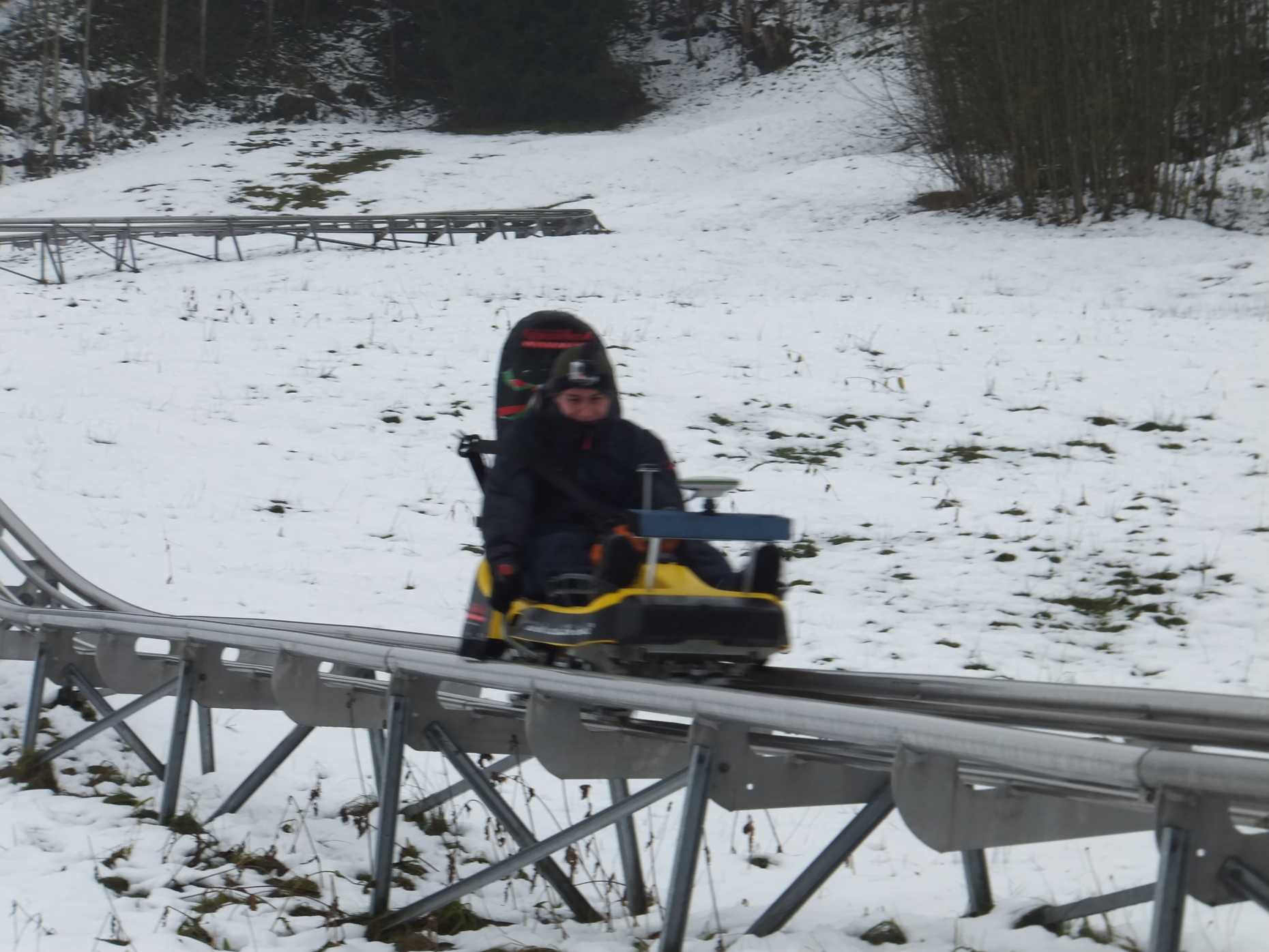
Different techniques to determine speed in sport disciplines are compared in order to estimate the accuracy of the velocity estimation using low-cost satellite-based systems. Especially GNSS Doppler shift observables can be used to estimate the accurate velocity profile during a race or a training session. The proposed method was assessed against a reference time cell-based system over a 50 meters long section of a summer toboggan run.

Data Analysis
The GNSS raw data are processed using an Extended Kalman Filter. The average velocities provided by the Doppler observables over 8 times intervals are compared with the velocities computed from the time differences measured by the time cells. The results show a difference between the proposed method and the reference system of only 0.004m/s on average, and a standard deviation of the differences on the order of 0.011m/s over a section of approximately 50m. Our investigations suggest that that our algorithms and techniques are worthwhile to extend for further improving the accuracy and for providing access to sufficiently accurate results on a variety of settings, i.e., for different sports and under various environmental conditions.

Contact
Geosensorik und Ingenieurgeodäsie
Stefano-Franscini-Platz 5
8093
Zürich
Switzerland